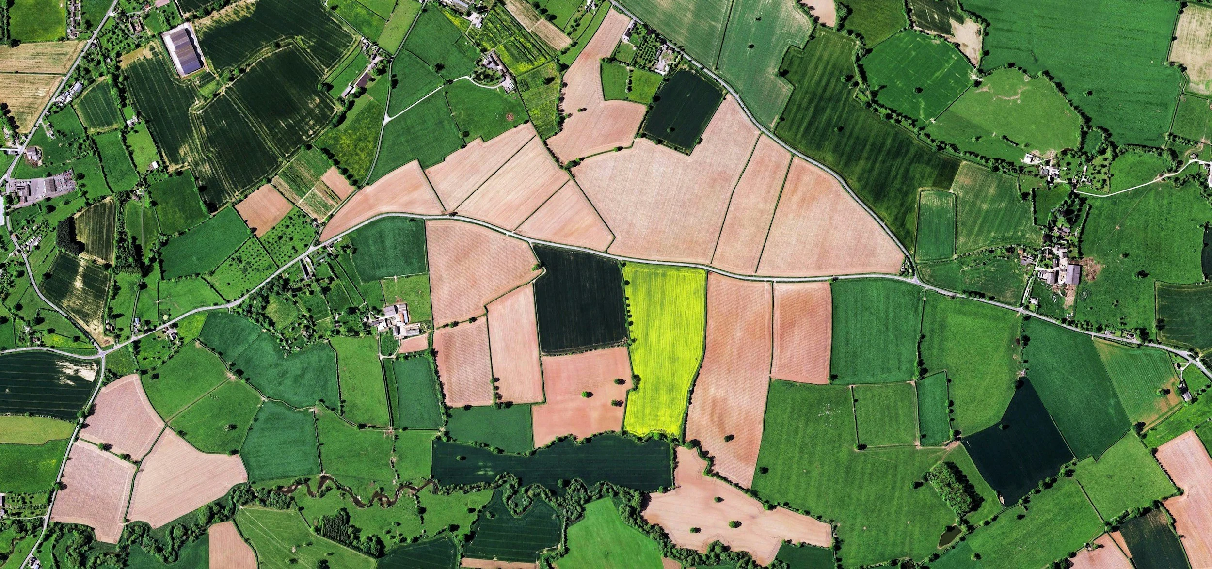
Aerial Survey & Mapping
Construction site progress tracking
Land and property mapping
Agricultural field analysis and crop monitoring
Topographical and GIS data collection
Infrastructure inspections and planning support
Large-area imaging for engineering and development projects
What Customers Receive
High-resolution aerial imagery, mapping data, orthomosaic images, and detailed progress visuals to support planning, measurement, inspections, and project management.
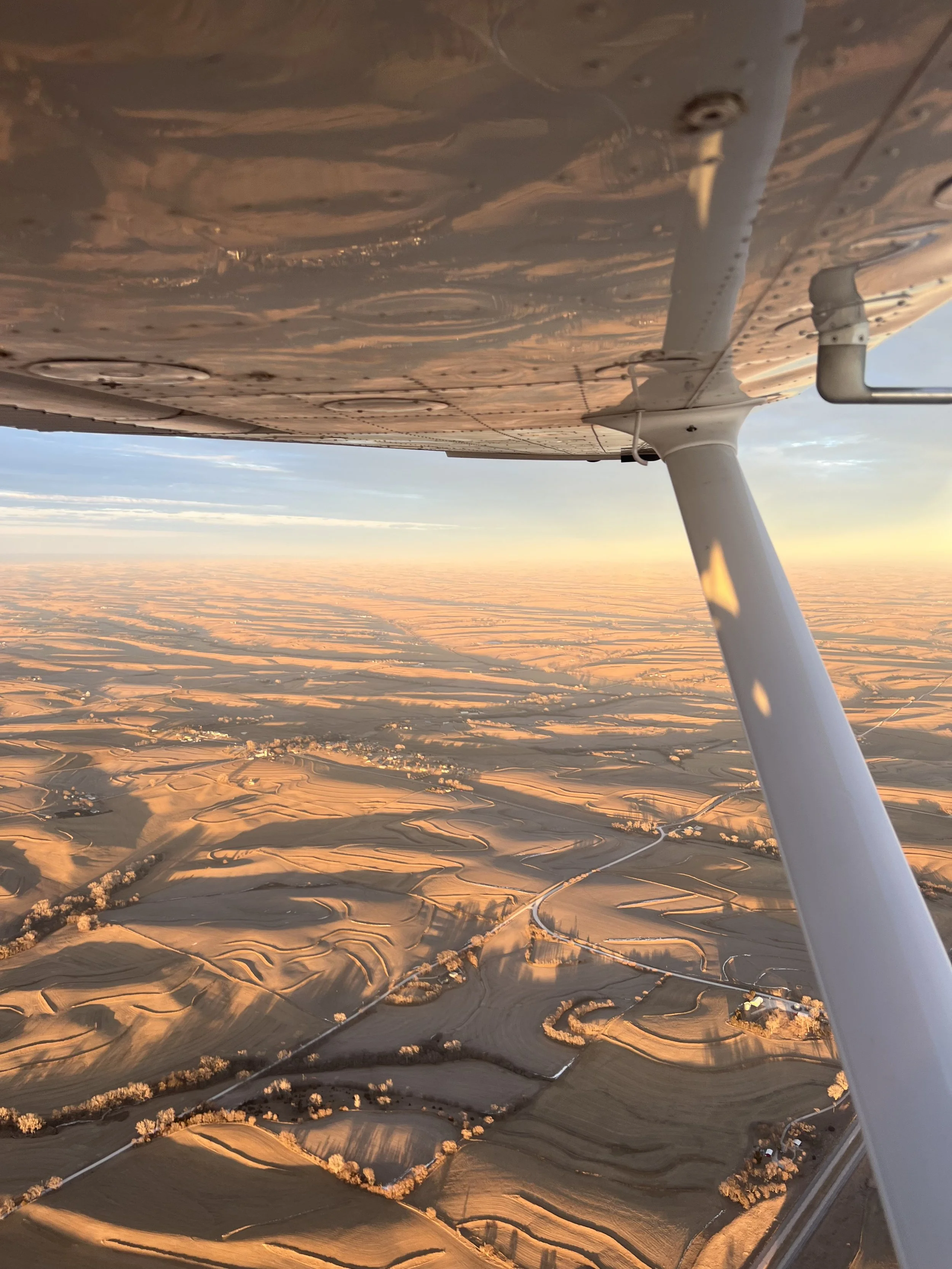
Aerial Photography & Videography
Real estate photo and video packages
Tourism and destination marketing content
Event and promotional coverage
Social media and commercial advertising footage
Aircraft and automotive photography shoots
Scenic aerial content for businesses and brands
What Customers Receive
Professionally captured aerial photos and cinematic video footage ready for websites, social media, marketing campaigns, advertisements, and promotional use.